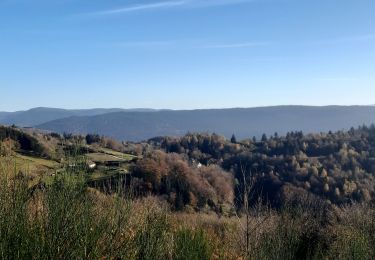
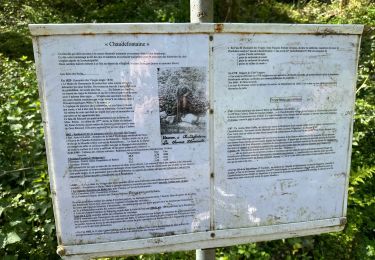
6,3 km | 8,9 km-effort
NOL / COL DE XIARD
BernardHumeau
Utilisateur
Longueur
17,6 km
Altitude max
829 m
Dénivelé positif
607 m
Km-Effort
26 km
Altitude min
402 m
Dénivelé négatif
606 m
Boucle
Oui
Date de création :
2020-01-17 14:07:21.291
Dernière modification :
2020-01-17 15:28:29.531
5h31
Difficulté : Très difficile
Application GPS de randonnée GRATUITE
À propos
Randonnée Marche de 17,6 km à découvrir à Grand Est, Vosges, Le Syndicat. Cette randonnée est proposée par BernardHumeau.
Description
ATTENTION
Cette randonnée se fait beaucoup HORS SENTIERS BALISES !!!!
Localisation
Pays :
France
Région :
Grand Est
Département/Province :
Vosges
Commune :
Le Syndicat
Localité :
Unknown
Départ:(Dec)
Départ:(UTM)
328750 ; 5319605 (32U) N.
Commentaires
Randonnées à proximité
carrière de Saint Amé
Marche
Moyen
(1)
Saint-Amé,
Grand Est,
Vosges,
France
8,6 km | 12,6 km-effort
2h 13min
Oui
Balcon du Solem
Marche
Moyen
(1)
Le Syndicat,
Grand Est,
Vosges,
France
4,3 km | 7,4 km-effort
2h 0min
Oui
La Cascade de la Pissoire
Marche
Facile
(3)
Sapois,
Grand Est,
Vosges,
France
6,3 km | 8,9 km-effort
1h 40min
Oui
Planois - Le haut du Roc
Marche nordique
Moyen
Basse-sur-le-Rupt,
Grand Est,
Vosges,
France
10,4 km | 17,2 km-effort
2h 28min
Oui
Chaudefontaine -grand lac- Chaudefontaine
Marche
Difficile
Vecoux,
Grand Est,
Vosges,
France
8,6 km | 13,4 km-effort
3h 2min
Oui
tiens vagbey gorge de croqery
Marche
Moyen
Thiéfosse,
Grand Est,
Vosges,
France
8,9 km | 12 km-effort
2h 47min
Oui
Chalet avuxon / La Vrille / Col de Xiard variante
Marche
Difficile
(1)
Vecoux,
Grand Est,
Vosges,
France
12,3 km | 19,1 km-effort
4h 20min
Oui
cascadu bouchot vosges
Marche
Moyen
(1)
Gerbamont,
Grand Est,
Vosges,
France
7,9 km | 10,5 km-effort
2h 23min
Oui